A Tor, a Gorge and a Cathedral: Three Slow Days Around Wells
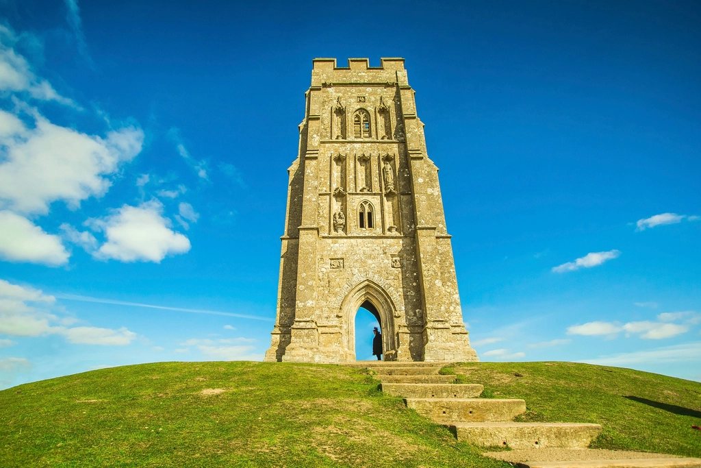
Most people see Glastonbury Tor, Cheddar Gorge and Wells Cathedral in a single day from a car park, and most people remember them as a blur. The three lie within about eight miles (13 km) of each other on the southern edge of the Mendips, and they are so different from one another, a hill … Read more