
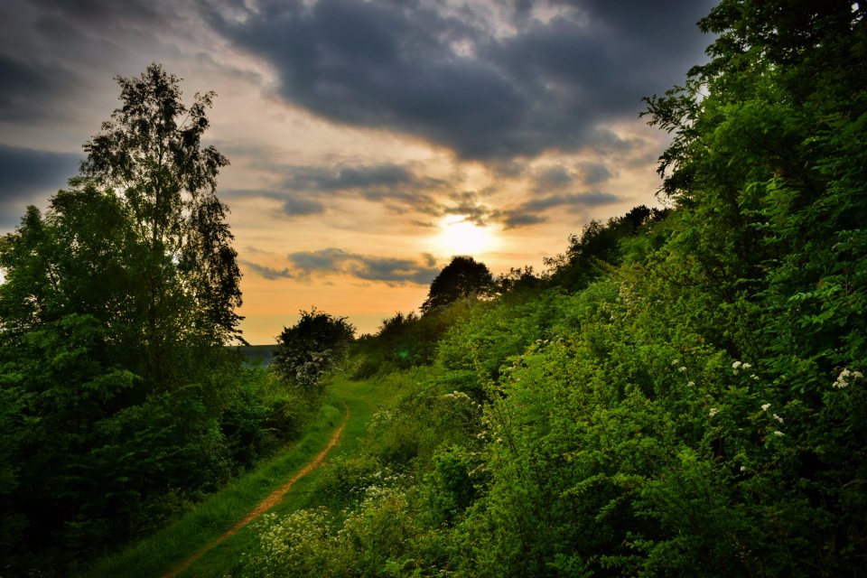
The Mendip Way is really two paths that agreed to meet in Wells. The western half runs 30 miles (48 km) from the Bristol Channel at Uphill along the limestone ridge to the cathedral city; the eastern half carries on for another 19 miles (31 km) through softer, wooded country to Frome. Together they make a little under 50 miles (80 km), which is a comfortable four days for a fit walker and a more civilised five for everyone else. Walking west to east is the better direction, with the sea at the walker’s back and the prevailing wind, more often than not, behind. What follows is a sensible way to break it up, with notes for first-timers.
Getting to the start, and away from the end
One of the quiet virtues of this route is that both ends are on the railway. Uphill is a village on the southern edge of Weston-super-Mare, about two miles (3 km) from the station, and the path begins at the old church on its knoll above the beach, where the Bristol Channel spreads out brown and enormous and the hump of Brean Down sits across the water. Frome, at the far end, has its own station on the line to Westbury and Bath. In between, Cheddar, Wells and Shepton Mallet all have buses, so the walk can be cut short or joined late without much trouble. Travelling light matters, since a full pack for five days soon feels heavy.
Day one: Uphill to Cheddar, around 13 miles (21 km)
The first day is the one people photograph. After a gentle start along Bleadon Hill the path climbs onto the ridge proper and stays there, with the flat green sheet of the Levels on the right and the Severn estuary and the Welsh hills on the left. Crook Peak, at 191 m (627 ft), is the first real summit and the finest, a sharp little pyramid of rock with a view that seems out of proportion to its height. Wavering Down beyond it is higher, at 211 m (692 ft), and gentler, and the descent through the woods of Shute Shelve brings you into the small medieval town of Axbridge, which is a good place for lunch.
From Axbridge to Cheddar is a couple of easy miles along the foot of the hills, past the reservoir. Arriving in Cheddar on foot, at the quiet end of the village rather than the coach-park end, is the right way to see it. Rooms here are plentiful but fill quickly in summer; book the first night well in advance and leave the rest looser.
Day two: Cheddar to Wells, around 17 miles (27 km)
This is the long day and the one worth splitting if you want five. The path climbs straight out of the gorge, whose cliffs reach almost 450 ft (137 m), and reaches the plateau in a hard half hour. Then comes the strangest landscape on the route: the high, bare, walled sheep country around Priddy, the highest village in the Mendips, with its sinkholes, its old lead workings and its enormous sky. The tops of the range lie just to the north, and the summit of Black Down at 325 m (1,066 ft) is the highest point in the hills, though the Way itself contours below it.
If you are splitting the day, Priddy is the place, with a village green, an inn and a couple of B&Bs, and it sits at almost exactly the halfway point of the western half. Otherwise the afternoon drops through the wooded gash of Ebbor Gorge, one of the loveliest short stretches on the whole walk, and through Wookey Hole to the edge of Wells. The first sight of the cathedral towers from the fields above the city is one of the highlights of the walk.
Day three: Wells to Shepton Mallet, around 7 miles (11 km)
A short day, and deliberately so. Wells is the smallest city in England and rewards a slow morning: the west front, the moated palace with its swans, the medieval street of terraced houses behind the cathedral which is said to be the oldest continuously inhabited street in Europe. When you leave, the path threads through Dulcote and up onto a lower, softer ridge than the one you have been walking, with the first real hedgerows and the first real mud. Shepton Mallet is a working town rather than a pretty one, with a long brewing and cider history and, on its northern edge, a tall railway viaduct that the path passes under. Rooms are cheaper here than anywhere else on the route.
Day four: Shepton Mallet to Frome, around 12 miles (19 km)
The last day feels like a different county. The limestone gives way to older, harder rock and the path spends most of its time in woods, along disused railways and beside the small quarrying villages of the eastern Mendips. Cranmore has a preserved steam railway whose whistle you may hear from the path. Beyond it the route drops into the valley of the Mells stream, following the water through Great Elm, where the rock walls close in and the woods feel almost Welsh, before the final approach to Frome across the fields. The finish is in the middle of the town, a few minutes from the shops and about a quarter of an hour from the station.
Kit, waymarks and the things nobody tells you
The route is waymarked throughout with a distinctive disc, but the marks are patchy on the plateau and in the eastern woods, so a paper map or a downloaded route is a necessary backup. Water is the real shortage. The limestone drinks every stream, and between Cheddar and Wells there is almost nothing running on the surface, so fill up whenever you can and carry more than seems reasonable in summer. Shade is also scarce on the western half; the eastern half has the opposite problem, with mud that lingers in the valley woods until late spring.
- Best months: late April to June for flowers and long light, or September to early October for firmer ground and quieter rooms.
- Boots, not trainers: the limestone is sharp, wet and slippery on the descents.
- Book the Cheddar and Wells nights first; they are the pinch points.
- Bank on eight hours for the long day, including stops, and start early.
Fifty miles is not a great distance. But this walk moves from sea to hills to city to woods, and over five days distance stops being the main thing.